
Executive summary
The central mistake in public debate is treating ‘the beach’ as one legal object. A real dispute can involve ownership of upland property, title or Crown interest in an adjoining strip, a registered or planned right-of-way, use of dry sand, the foreshore and seabed, conservation rules, signage, parking and the behaviour of private security or public enforcement.
Saint Lucia’s Physical Planning and Development Act gives planning a concrete role. Its schedules contemplate reservation of land and establishment of public rights-of-way to and over beaches. An official Gros Piton access determination also shows why records matter: the Department inspected Land Registry material to confirm a specific registered vehicular right-of-way.
SLPA proposes a Public Coast Guarantee: identify and legally verify public access routes, map them in the NSDI, mark them on the ground, preserve them through development approval and create a rapid, evidence-based route for resolving obstruction or uncertainty.
Developed from the research brief “Who Owns the Beach?” and related Queen’s Chain materials. Statutory and official access claims were independently checked in July 2026. This is civic research, not legal advice.
Key findings
Beach use and beach access raise separate legal questions.
A person may have a strong claim to use part of the coast but no lawful or usable route across the land behind it. Policy should distinguish the right to be at the shore from the route, parking, accessibility and rules that make the right real.
Evidence-led findingEach Queen’s Chain claim needs parcel-level evidence.
Historical reservation, Crown interest, survey and title history can differ by parcel and period. No single popular formula settles every location. The defensible approach is evidence-tested status for each route and coastal segment.
Evidence-led findingPlanning approvals can protect future beach access.
Development approval is where access can be reserved, improved, made accessible or inadvertently narrowed. Conditions should be spatially recorded, transferred into the permanent public register and checked before occupancy or project close-out.
Evidence-led findingUnclear records give gatekeepers practical control.
When the legal record is hard to find, a sign, fence or confident instruction can determine public behaviour regardless of the underlying right. A clear map, marker and rapid official determination can rebalance the information asymmetry.
Evidence-led findingAccess test
Coastal access depends on legal rights, a usable route, enforcement, public awareness and shoreline resilience.
A single answer about ownership cannot resolve the full public-access question. Each site needs a layered record that separates the legal right from the route, the enforcing institution, the user experience and a coastline that is physically changing.01LegalWhat does the record permit?
Check statute, title, Crown interest, registered rights-of-way, planning conditions, judgments and agreements. Do not use a general Queen’s Chain claim as parcel-level proof.
02PhysicalCan the public actually reach the coast?
Map roads, paths, gates, signs, parking, terrain and disability access. A lawful use right can be hollow when the landward route is missing or unusable.
03InstitutionalWho can decide and enforce?
Identify the planning, Crown lands, conservation, registry, police, court or local authority role, and give the public one visible route for a timely status decision.
04SocialWho feels entitled to use the route?
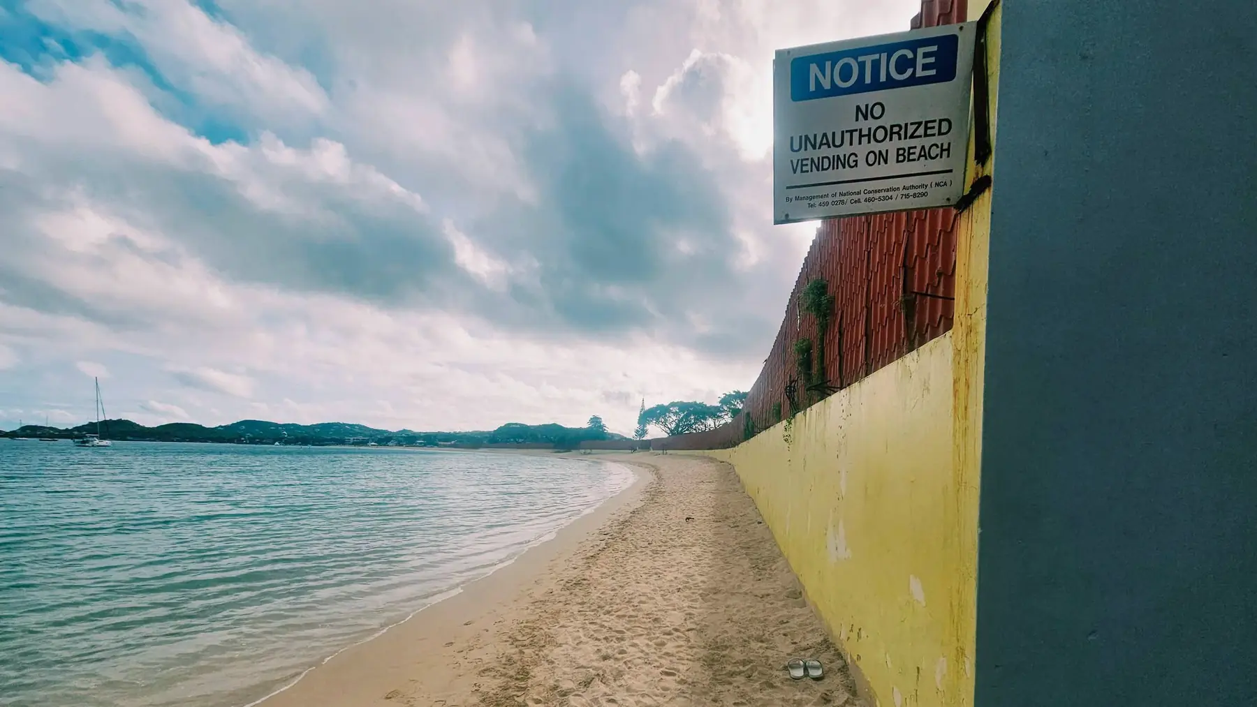
Record intimidation, unclear security instructions, vendor displacement and class-coded signals. Apparent permission means little if ordinary users are routinely discouraged.
05ClimateWill the route survive a moving shoreline?
Erosion, beach narrowing, storm damage, coastal works and managed retreat can shift both the route and the usable shore. Access planning must move before the coast forces a crisis.
Decision ruleA right that cannot be found, reached or fairly enforced is weak in practice; even when it remains strong on paper.
Policy rollout
Map, mark and maintain every confirmed route.
% of confirmed routesIllustrative SLPA milestones; the final denominator requires a legal and spatial inventory.
Use this data
Copy the visible figures or download them with the unit, claim label and method note attached.
SLPA policy proposal
Public Coast Guarantee
Convert fragmented title, planning and local knowledge into a legally careful national access system that protects both public rights and due process.
A verified beach-access register
For every recognised beach, record the route, legal basis, parcel relationship, allowed mode, accessibility, parking, hours, conservation rules and unresolved questions.
Public maps and physical markers
Publish confirmed routes in the national spatial-data layer and mark them consistently at the road and shore, with a scannable record and update date.
Protect access in development approvals
Make route preservation, construction, accessibility and handover explicit conditions where development affects access; record those conditions spatially and audit before close-out.
Fast, evidence-based response to obstructions
Create a clear channel to report obstruction, require an initial official status response quickly and use proportionate enforcement after title and planning records are checked.
Clear labels for confirmed and disputed access
Label disputed, customary, permissive and confirmed access separately. Publish the evidence needed to resolve ambiguity instead of turning folklore into an unsupported national rule.
Delivery sequence
Set the legal method and select pilot coastlines
- Publish the evidence hierarchy for confirming access: statute, registered right, Crown record, planning condition, judgment, agreement and documented practice.
- Inventory a representative set of high-use and high-dispute sites and place unresolved questions on a public research docket.
- Design the marker, map fields and obstruction-reporting service with disability and conservation input.
Build the register and test enforcement
- Verify, map and mark the first access routes with parcel-level review and community field checks.
- Connect planning conditions and Land Registry evidence to the NSDI record.
- Publish response times, confirmed obstructions, corrections and unresolved cases without prejudicing legal rights.
Complete national coverage and annual upkeep
- Complete the national inventory, giving priority to sites under development pressure.
- Require an annual condition and accessibility audit and fund small access improvements.
- Review legislation only after the evidence map reveals recurring gaps that cannot be solved administratively.
Public accountabilityMeasures for public accountabilityQuarterly operating signals and one independently reviewed annual outcome report.4 measures
Tests whether a legal right becomes findable in practice.
Measures how quickly ambiguity stops controlling behaviour.
Shows enforcement effectiveness and repeat failure.
Moves the guarantee beyond a line on a map.
04Limits, uncertainty & sources3 limits · 8 sources
Limits of this analysis
- This is civic research, not legal advice or a determination of title or access at any specific beach.
- The popular Queen’s Chain concept should not be treated as proof that every coastal parcel has the same legal history or reserved strip.
- Publication must protect legitimate privacy and conservation interests while avoiding the opposite error of hiding public rights behind inaccessible records.
Photographs identify place, activity and physical context. Measurements and findings come from the cited records unless a caption says otherwise.